AV: Through the Eyes of Ground Penetrating Radar
Article By : Junko Yoshida
New localisation tools allow AV startup to create self-driving that can safely navigate in adverse weather & road conditions.
In improving the performance of advanced driver-assistance systems (ADAS) and autonomous vehicles (AVs), more powerful compute engines and high-definition sensors are critical. Hardware matters.
But to guarantee safer vehicles, many more advancements must happen in software. Today, a plethora of automotive startups is popping up to develop this software in such areas as AV stacks, high-precision maps, precise positioning, over-the-air (OTA) updates, and leveraging data deeply buried inside a vehicle to enhance safety.
EE Times enlisted Egil Juliussen, director of research for Infotainment and ADAS for Automotive at IHS Markit, to share a list of automotive software startups that caught his eye in recent weeks.
EE Times talked to each startup’s top management. In profiles of each company and its technology, we focus on safety implications for AV and ADAS vehicles.
WaveSense
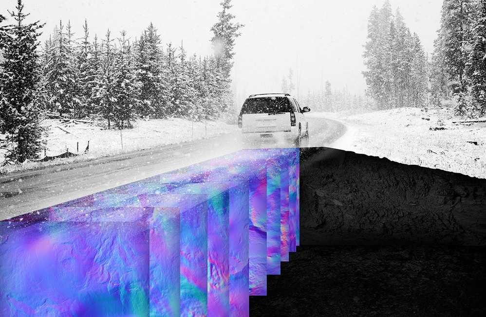
(Source: WaveSense)
High-definition maps and a high-precision GPS/inertial navigation system (INS) help an AV figure out where it is driving itself. More critical, however, is accurate “localization” information — so the AV can stay in its lane and maintain a safe distance from other vehicles.
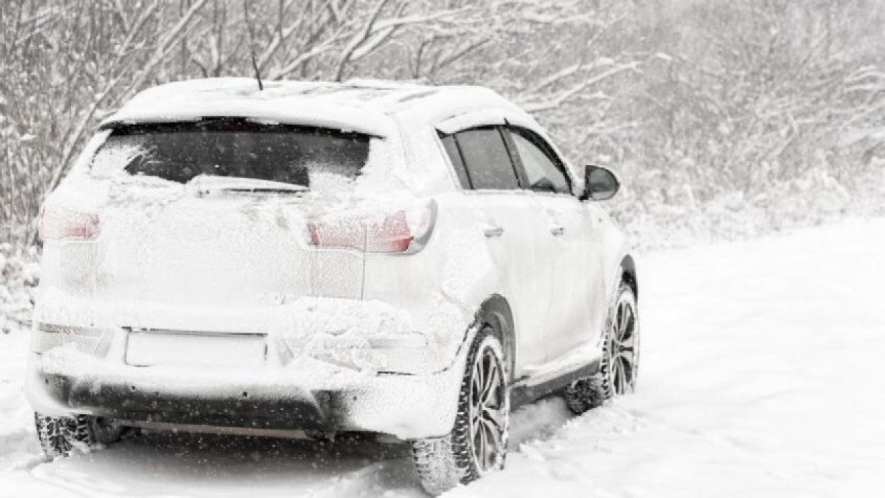
When driving in bad weather such as fog, rain, and snow, a current-day AV — despite its load of cameras, LiDARs, radars, and GPS/INS — can easily get confused about its precise location. For robocars, driving an open road with sparse landmarks is not easy. Driving on streets with faded or absent lane markers is almost impossible. None of the existing sensor technologies incorporated inside a robocar can help it navigate through ordinary real-world road or weather conditions.
Enter the world of WaveSense, a Somerville, Massachusetts-based startup. The company is pushing subterranean maps to keep autonomous driving safe.
By using a radar technology that can penetrate three meters into the ground, WaveSense collects ground-penetrating radar (GPR) data of subterranean objects. By combining GPR data with GPS tags, the company is creating unique subterranean maps.
An AV uses the subterranean map of roadways as a reference to estimate precise vehicle location. “We’ve proven that our map can offer 2- to 3-centimeter lateral accuracy,” Tarik Bolat, WaveSense CEO, told EE Times.
Rain or shine
Regular surface maps can sometimes be challenging to AVs because landmarks — buildings and geographic features — can come and go. Keeping surface maps current can be costly. But sub-surface maps that track and map unique subterranean objects rarely need to change, easing an AV’s challenge in accurately navigating highways or even parking lots, Bolat explained.

“A couple of OEMs also told us that by adding our subterranean maps, they might even be able to do away with LiDARs — a kind that’s mounted higher up on a vehicle to see upper fields of views,” said Bolat, because such LiDARs are exclusively used for localization. This could lower the cost of AVs.
What kind of radar technology?
For sub-surface sensing, WaveSense is using radar technology that functions at a low frequency between 100 and 400 MHz.
WaveSense’s GPR systems work by sending a pulse of electromagnetic radiation underground and measuring reflections that originate from points below the surface. Reflections occur at the interface between objects with different electromagnetic properties, such as pipes, roots, and rocks. However, it is not these discrete objects but, rather, the natural heterogeneity of subterranean geology that dominates GPR reflection profiles, the company explained. “Soil layers and variations in moisture content cause reflections in the data.”
WaveSense summarized: “The premise of GPR localization is that these sub-surface features are sufficiently unique and static to permit their use as identifiers of the precise location at which their reflections were collected.”
MIT’s Lincoln Laboratory originally developed the GPR system for military applications. Today, WaveSense has exclusive rights to the GPR system’s patent portfolio owned by MIT.
Mapping
Many map companies are developing high-definition surface maps for AVs based on existing maps. Creating a whole new set of subterranean maps that covers the entire country seems to be a vast effort in literally uncharted territory. Bolat, however, indicated that this is the least of WaveSense’s problems. “Look, if we decide to map out Boston using GPR technology, all we have to do is to travel 2,400 lane miles twice to collect the GPR data,” said Bolat. “It’s manageable and very straightforward.”
WaveSense’s CEO claims that its technology got the attention of the largest OEMs and Tier Ones at the Consumer Electronics Show last month. He expects some of these companies to start pilots soon. Interest is very high because “we are solving critical safety issues.” He explained that technology stacks developed for AVs today essentially replicate data sets that human drivers already use. In contrast, the subterranean data that WaveSense offers is designed for robots to deploy.
WaveSense still needs to figure out pricing and a business model. Depending on its customers (ranging from car OEMs to Tier Ones and mapping companies), the startup will sell hardware systems and/or maps.
WaveSense, founded in 2017, has raised $3 million and has seven engineers. “We will be an eight-[person] company soon,” the CEO added.

Subscribe to Newsletter
Test Qr code text s ss